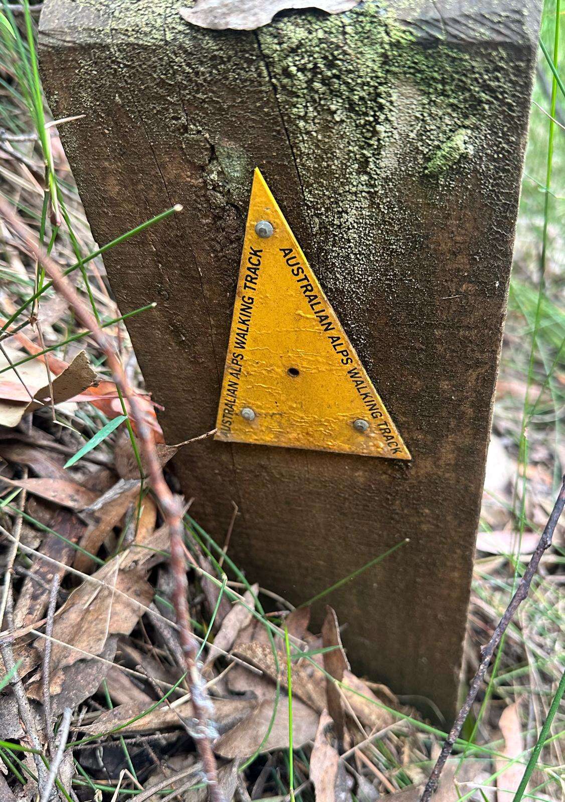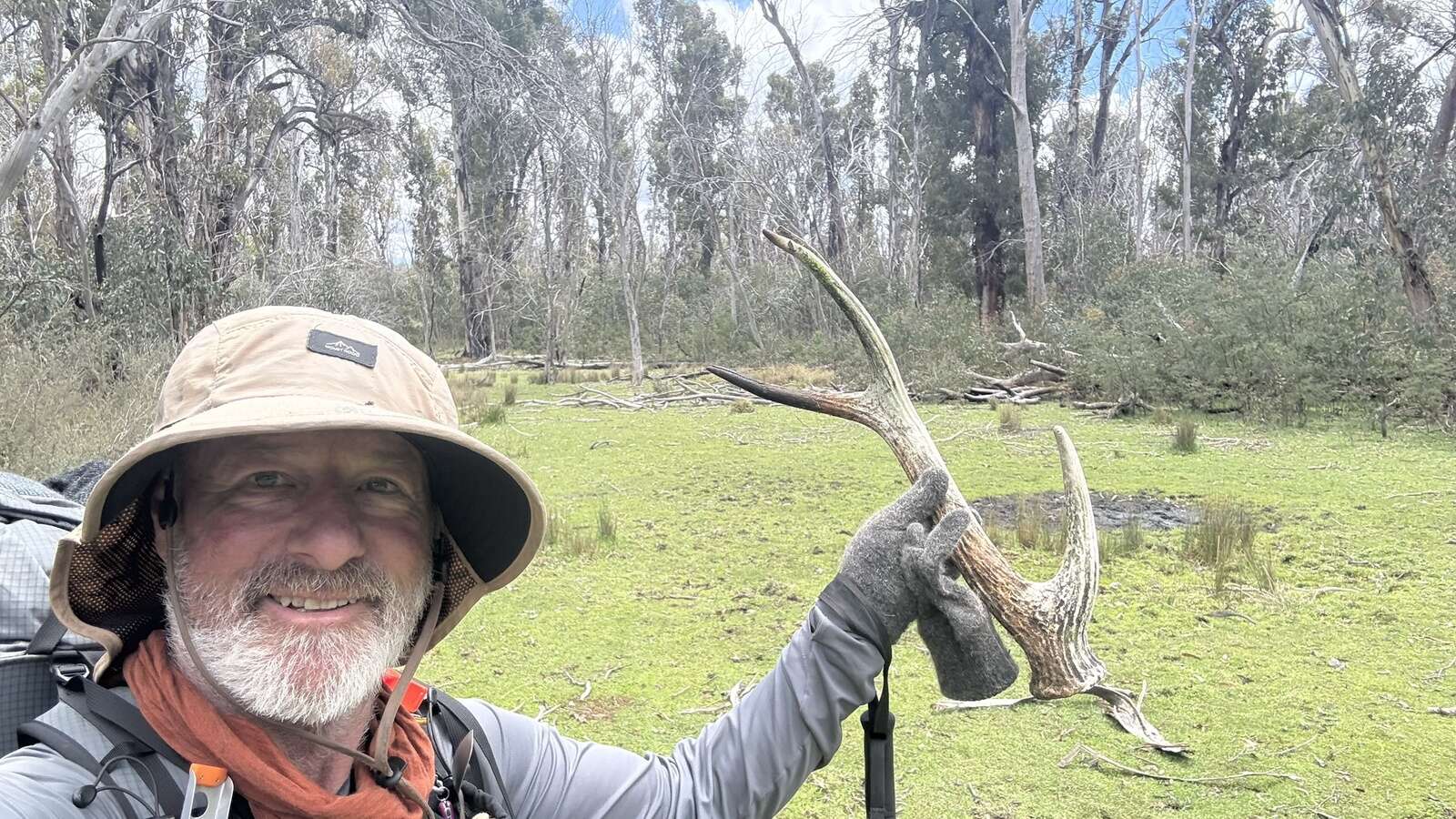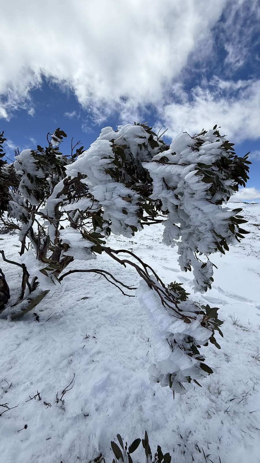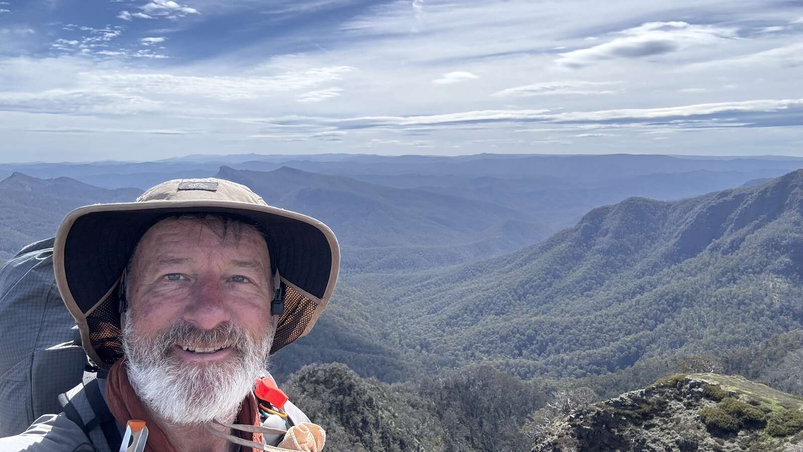
Hunter and ADA member reports on an incredible solo walk through the Australian Alps.
The Australian Alps Walking Track (AAWT) had a reputation long before I stepped onto it. Through the volunteer group Bushwalking Tracks and Conservation (BTAC), I’d heard the stories. Some had walked sections. A few had completed the full length. Every time it came up, the same words followed: remote, demanding, serious. That was enough for me!
The AAWT stretches roughly 650 kilometres between Tharwa, near Canberra, and Walhalla in southern Victoria. Most walkers head north. I chose to walk south. I wanted every step to bring me closer to home.
I also added two personal goals: to summit the highest peak in each state the track crosses - and to visit every hut along the way.
Planning the Commitment
The walking was only part of the undertaking. The logistics took months.
Water sources were mapped carefully. Food drops were planned and positioned. Escape routes were identified. Weather patterns were studied. Alpine country leaves little room for poor planning.
I established ten food drops - about the practical maximum. The longest carry between resupplies was eight days. On those first days out of a drop, my pack weighed between 16 and 18 kg. Base weight sat around 10 kg, with food and water added.
Meals were simple and consistent: dehydrated spaghetti bolognese or rice with chicken soup for dinner; oats and milk powder for breakfast; wraps with salami and peanut butter for lunch. Water was mostly drawn from creeks and filtered. The longest dry carry between reliable water sources was about three days.
A Garmin inReach, with preset message times, was my go-to for communications. The satellite function on my iPhone was also helpful when the skies were clear.
The High Points
As the track moved through three alpine regions, I made sure to stand on their highest ground.
In the ACT, I climbed Bimberi Peak. In New South Wales, I summited Mount Kosciuszko. In Victoria, I made the detour to Mount Bogong.
Each ascent required extra effort beyond the main track. None felt like a bonus; they were part of the commitment. After days moving through valleys and regrowth, climbing above the landscape gave perspective. You see the scale of the country and of the task you’ve taken on.
Huts and Hidden Gems
I also made a point of visiting every hut along the route.
These structures are more than shelters, they’re pieces of alpine history. Stockmen’s huts, ski huts, emergency refuges. Some sit quietly in clearings; others appear suddenly through burnt regrowth.
During rough weather, especially early in the trip when snow and hail rolled through, the huts in Kosciuszko National Park were invaluable. Solid, well maintained and often stocked with wood, they offered both safety and a welcome morale boost.
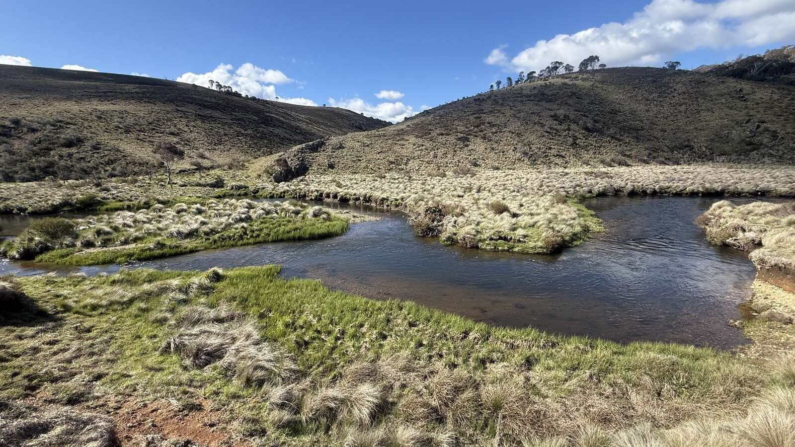
One highlight was a detour to the limestone formations and clear pools of Blue Waterholes. After days of ridgelines and fire-scarred forest, the bright water and open valley felt almost surreal; a reminder of how varied this landscape truly is.
Finding the Rhythm
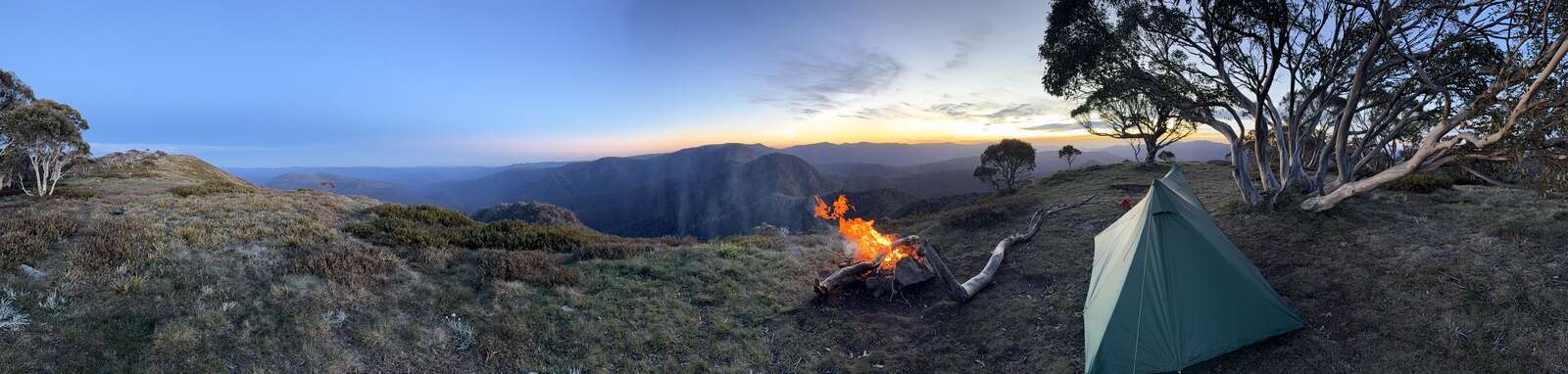
After about ten days, the walk became routine. I packed the same way each morning and set up camp the same way each night. I was often moving before sunrise and turning in well before dark. Routine preserved energy and kept decision-making simple.
Navigation varied. Some sections follow a clear footpad; others require careful movement from hill to hill using map, compass and electronic backup. It demands focus, but not drama.
The greater test was solitude. There were stretches of five or six days without seeing another person. Just wind, regrowth and steady progress. In that silence, you settle into your own thoughts.
When I did meet other walkers, the exchanges mattered. Information about track conditions, water and weather - and simple human conversation - carried weight.
Fire and Recovery
Much of the track still bears the mark of the 2019/20 fires. Around 95 per cent of my journey passed through burnt forest. Six-year regrowth now dominates, thick, shoulder-high and relentless. Above it stand the blackened trunks of older trees, many unlikely to return.
Then, unexpectedly, you enter a pocket that escaped the flames: tall canopy, living timber, clear understory. The contrast is immediate.
Walking through fire-affected country is a study in resilience. Loss is visible everywhere. So is recovery.
The Mental Equation
Long-distance walking is as much psychological as physical. Walking south meant every kilometre brought me closer to home. That mattered on harder days.
I was also raising funds for the Black Dog Institute and Breast Cancer Network Australia. People had supported the walk. Finishing became about honouring that support as much as personal achievement.
That responsibility stayed with me.
Moving Well
I allowed 60 days to complete the track. I finished in 45.
Once the early weather passed, conditions were favourable and I maintained a steady pace. By the end, I had lost around 10 kg - but not my energy. Preparation and consistency paid off.
The Final Kilometres
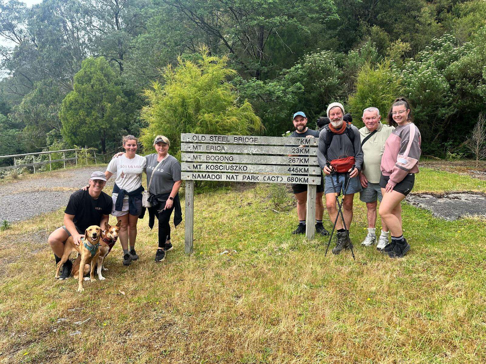
I reached the outskirts of Walhalla midweek and camped nearby. Family and friends joined me for the final stretch from the Thomson River. We walked into town on a clear Saturday morning.
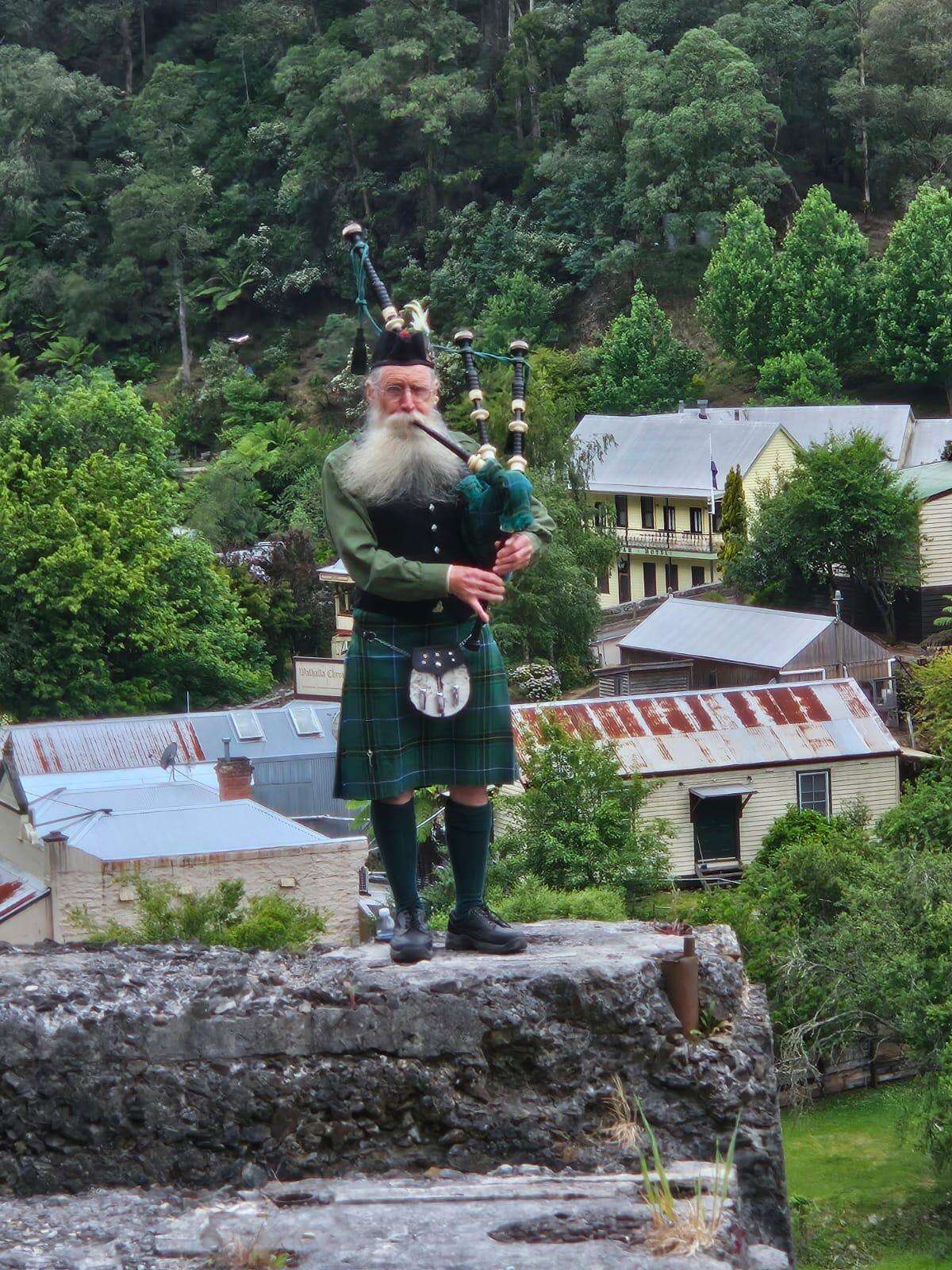
As we approached, a local stood on the hillside playing bagpipes. After 45 days of wind and silence, that sound rolling through the valley was unforgettable.
We finished with a simple barbecue in town with family and friends. Seeing people give up their time just to watch me walk out of the bush meant more than I expected.
Why Walk It?
The Australian Alps Walking Track demands planning, discipline and respect for alpine conditions. But at its core, it’s simple: wake up, shoulder the pack, move forward. Day after day.
It took weight off my body. It didn’t take anything from my spirit. And for anyone willing to prepare properly and commit fully, it remains one of Australia’s great long-distance journeys.
Lastly, it wouldn’t have been possible without the meaningful contribution of my partner Robyn, my family, friends, and all the people I met along the way. Your support was invaluable.
AAWT BY THE NUMBERS
Distance:~756 km
Time Taken: 45 days
Direction: Southbound
Planned Duration: 60 days
Food Drops: 10
Longest Food Carry: 8 days
Longest Water Carry:~3 days
Base Pack Weight:~10 kg
Maximum Pack Weight: 16 -18 kg
Weight Lost:~10 kg